Hello,
since location accuracy is not enough for us with single cell, we are trying to use multiple cell location.
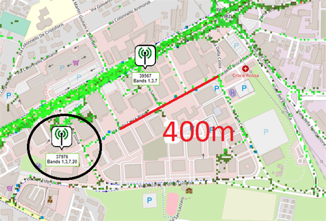
We tries with %NCELLMEAS = 2 but we don't get multiple cells. Maybe the serving cell has good signal?
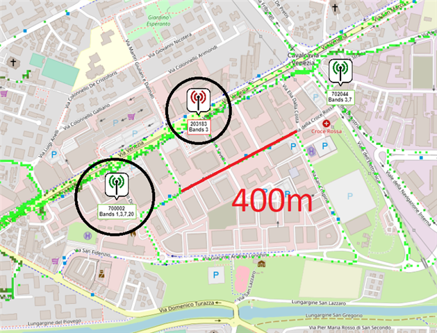
Then we tried with GCI search and fw 1.3.4.
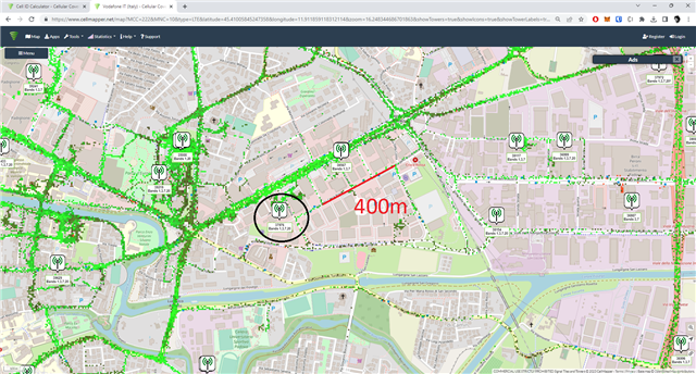
%NCELLMEAS = 3,3
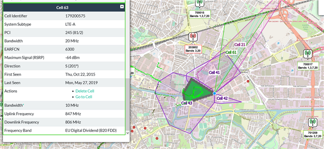
and we got those 3 cells (I added newlines for easiness of reading):
%NCELLMEAS: 0,
"0AAE62A2","22201","92B9",65535,0,6254,243,62,19,178936,0,0,
"0319AFA2","22201","92B8",65535,0,6254,295,62,18,178936,0,0,
"0094586F","22210","69D9",65535,0,6354,105,77,29,178973,0,0
so we tried to inject this data into the nrfCloud API:
{
"lte": [
{
"mcc": 222,
"mnc": 1,
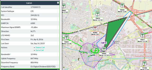
"eci": 179200674,
"tac": 37561,
"earfcn": 6254,
"adv": 65535,
"rsrp": -78,
"rsrq": -10,
"nmr": [
{
"earfcn": 6254,
"pci": 295,
"eci": 52015010,
"rsrp": -78,
"rsrq": -10.5
},{
"earfcn": 6354,
"pci": 105,
"eci": 9721967,
"rsrp": -63,
"rsrq": -5
}
]
}
]
}
and this is the response:
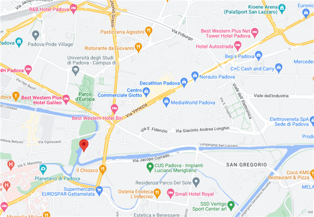
{
	"lat": 45.39999247,
	"lon": 11.90999508,
	"uncertainty": 2472,
	"fulfilledWith": "MCELL"
}
which does not give any improvement on the original location with SCELL.
Can you help us? Are we formatting the data the wrong way?
Marco