Dear Support Team
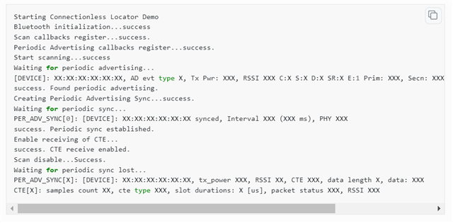
I read the <<Bluetooth: Direction finding connectionless locator>> document and saw the log in the picture below. But I don't know which data is the key data to calculate the elevation angle and azimuth angle and how to calculate the tag position. Many thanks.